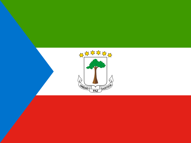
 Equatorial Guinea
Why Equatorial Guinea
Equatorial Guinea consists of a mainland region, Río Muni, between Cameroon and Gabon, and islands including Bioko and Annobón. It was a Spanish colony until 1968 and is the only sovereign state in Africa where Spanish is an official language. Its economy depends on oil and gas.
Bioko
Malabo, on the northern coast of Bioko island, has a Spanish colonial cathedral and a modern waterfront. The Pico Basilé, a volcanic peak of about 3,000 metres, overlooks the city. In the south of the island, the Gran Caldera de Luba and the Ureca beaches host nesting sea turtles from October to February, and Bioko is home to rare primates, including the drill.
Río Muni
The mainland has the city of Bata, a lively port and the largest city on the mainland, and Monte Alén National Park, with rainforest, gorillas and chimpanzees, and walking trails.
When to go and getting there
The drier months from December to February are best. Malabo and Bata have international airports, with flights from Europe via Madrid and from African hubs. Visas are required, including an e-visa system for many travellers. Tourist services are limited and costly.
Travelling responsibly
Follow turtle-watching guidance, respect photography rules near government buildings and use local guides.
Before you go
Check your government’s advice on entry rules, photography restrictions and health. Entry rules, visas and health requirements (including yellow fever vaccination certificates, which many African countries ask for) depend on your nationality and change, so confirm them with the official government sources, your own government’s travel advice and your insurer. African Travel Chronicles gives general information and not personal travel advice.
Official sources
- Equatorial Guinea Ministry of Tourism
- UNESCO World Heritage Centre: Equatorial Guinea
- UNESCO World Heritage Centre: States Parties
- CIA World Factbook